

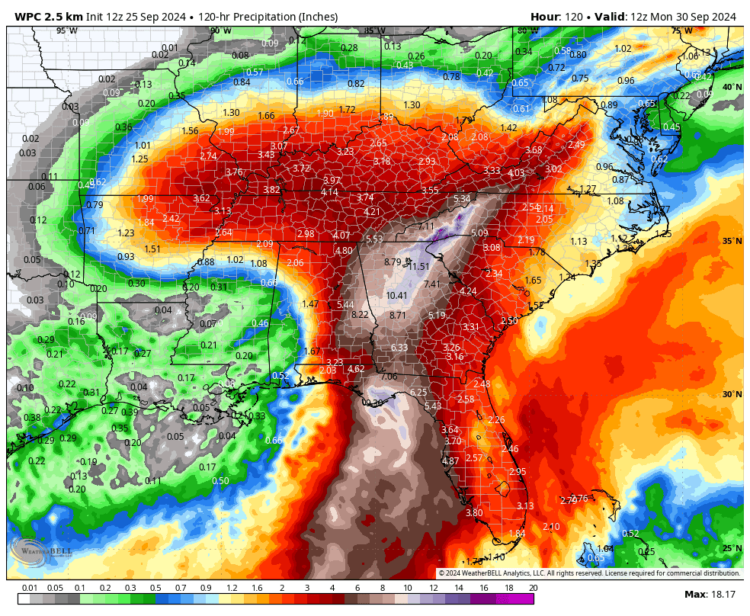
Helene rainfall totals
Sept. 26. [Updated] Gov. Roy Cooper has declared a State of Emergency ahead of Hurricane Helene due to severe weather that could threaten life and property inland. NEW: Charlotte Mecklenburg Schools will go remote tomorrow due to the storm.
Helene is forecast to cause flash flooding, landslides, debris flows and flooding across portions of western North Carolina and portions of central North Carolina. Flooding may occur in areas that do not typically flood. With already saturated soils, trees could fall causing widespread power outages. There is also a potential for tornadoes with this storm system. Tornadoes from tropical systems can quickly spin up with little warning.
Locally, it apparently won’t be as bad compared to points west, with windier conditions in Atlanta than here.
Charlotte Mecklenburg Schools
Charlotte Mecklenburg Schools has cancelled after school enrichment programs and after-school activities, athletics, club meetings and tutoring for Thursday.
With continued high winds and heavy rain predicted tomorrow, CMS will move to remote learning with no face-to-face instruction Friday.
Cornelius forecast Thursday
The National Weather Service predicts less than an inch of rain today (Thursday) with more rain coming tonight, on the order of an inch. Some of the storms could produce heavy rainfall with wind gusts as high as 38 mph.
Friday
Look for the heaviest rain Friday morning, with wind peaking in the afternoon.
Indeed, gusts could be as high as 45 mph, according to the National Weather Service.
Our weather should start to improve Friday afternoon.


Discussion
No comments yet.